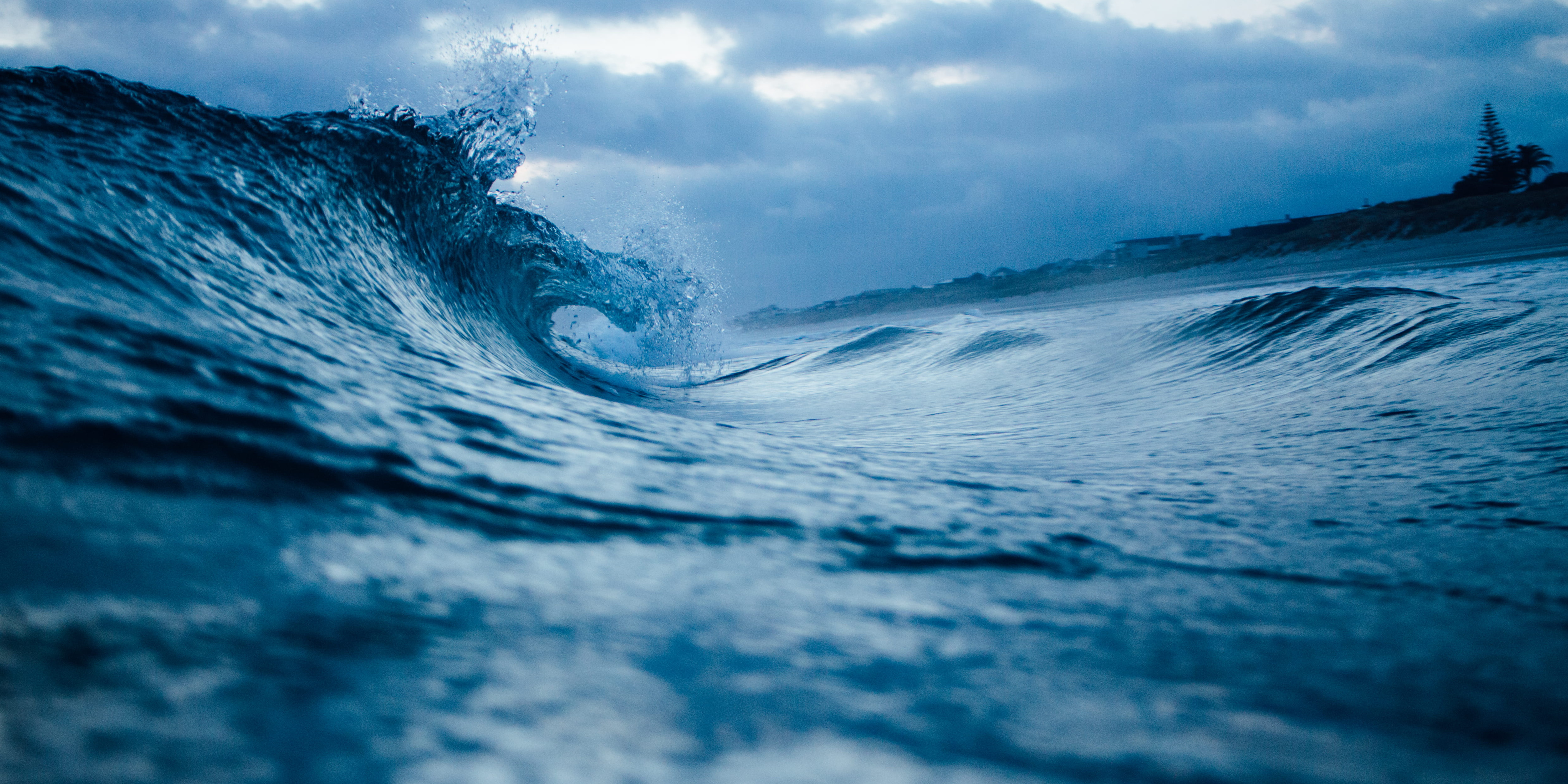
Sea level rise is a growing threat to the Mediterranean coasts
Photo by Tim Marshall on Unsplash
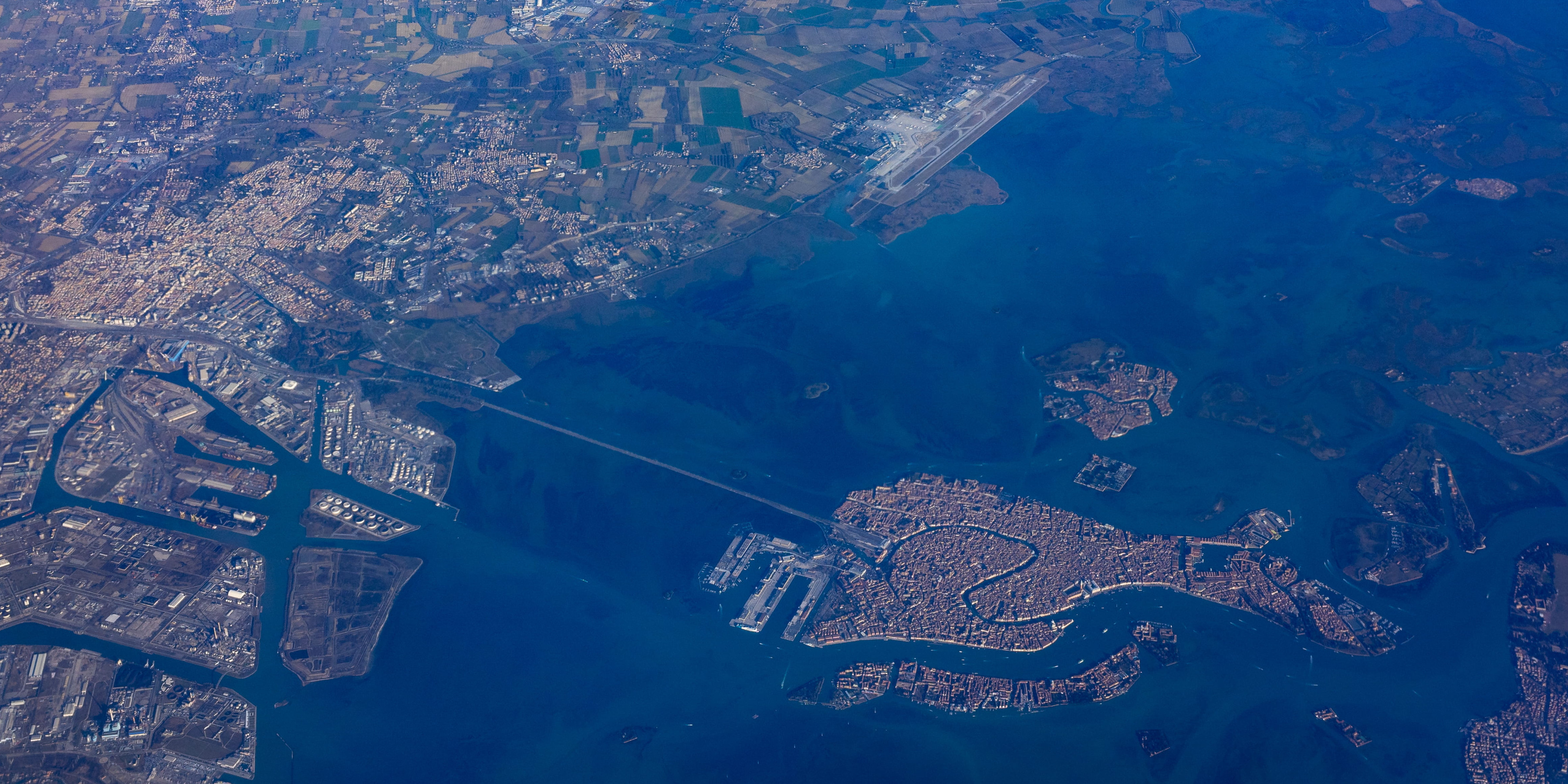
Assessing the cascading effects of coastal floodings on natural and anthropic ecosystems
Photo by Vincentiu Solomon on Unsplash
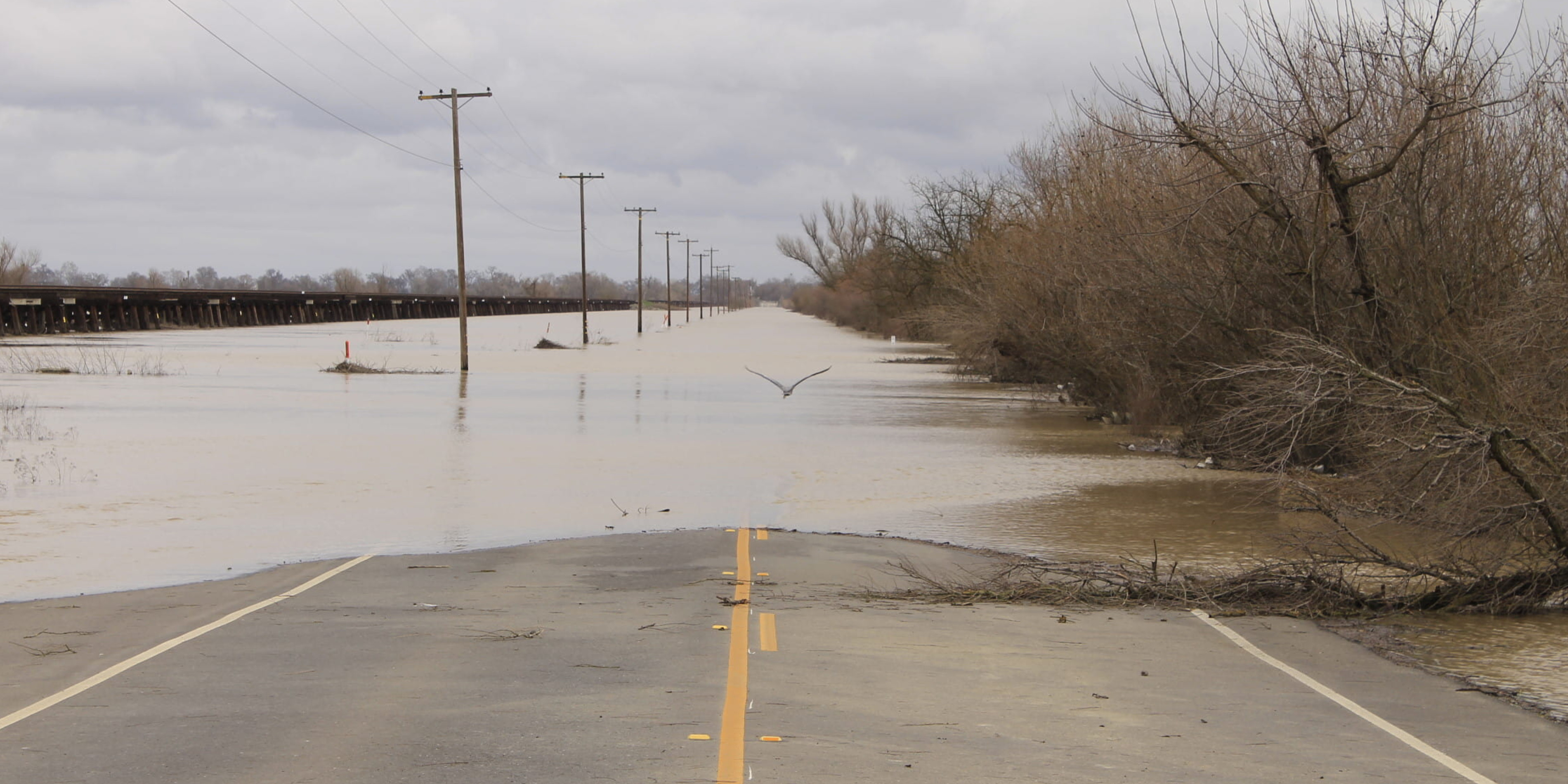
Sharing information on coastal flooding and climate-related hazards in the Mediterranean
Photo by Ryan Johnson on Unsplash
Welcome
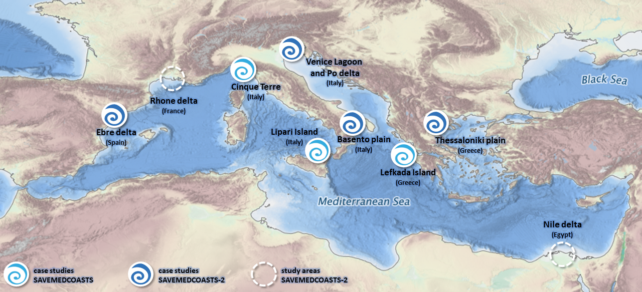
The SAVEMEDCOASTS-2 webGIS is a geospatial data-sharing hub built on the collaborative GeoNode platform, as well as a user-friendly tool for creating and sharing interactive thematics maps. It is aimed at boosting information sharing on flooding risk and cascade propagation of climate change effects across physical and human systems through innovative mapping solutions.
255 Layers
Click to search for geospatial data published by other users, organizations and public sources. Download data in standard formats.
36 Maps
Data is available for browsing, aggregating and styling to generate maps which can be shared publicly or restricted to specific users only.
10 Users
GeoNode allows registered users to easily upload geospatial data in several formats including shapefile and GeoTiff.
